Kanto
Where it all began. A compact map of cities named after colors, visited and revisited since 1996.
Map of Kanto
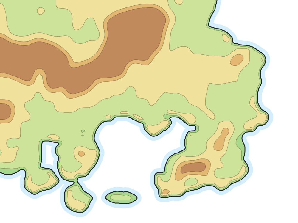
Places on the map
- Indigo Plateau
- Pewter City
- Cerulean City
- Celadon City
- Saffron City
- Lavender Town
- Viridian City
- Vermilion City
- Pallet Town
- Fuchsia City
- Cinnabar Island
- Victory Road
- Mt. Moon
- Rock Tunnel
- Power Plant
- Viridian Forest
- Diglett's Cave
- Seafoam Islands
Routes
- 1From Pallet Town to Viridian City
- 2From Viridian City to Pewter City
- 3–4From Pewter City to Cerulean City
- 5From Cerulean City to Saffron City
- 6From Saffron City to Vermilion City
- 7From Celadon City to Saffron City
- 8From Saffron City to Lavender Town
- 9–10From Cerulean City to Lavender Town
- 11From Vermilion City to Route 12
- 12–15From Lavender Town to Fuchsia City
- 16–18From Celadon City to Fuchsia City
- 19–20From Fuchsia City to Cinnabar Island
- 21From Cinnabar Island to Pallet Town
- 22–23From Viridian City to Indigo Plateau
- 24–25From Cerulean City to the Sea Cottage
- 26–27From Route 22 to Johto
- 28From Route 22 to Mt. Silver
Neighboring routes that form a single path appear together, as in “3–4”. Stretches with no number are bridges, tunnels and crossings that the games do not number.
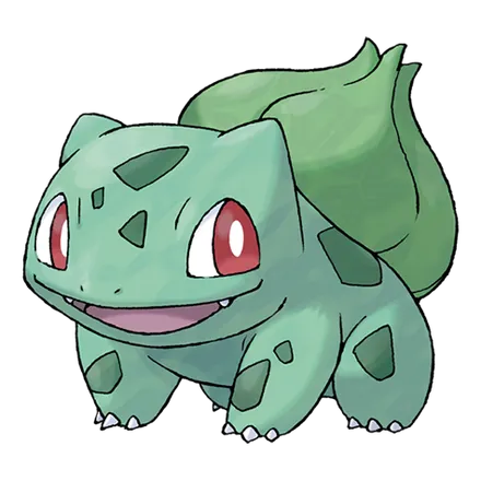
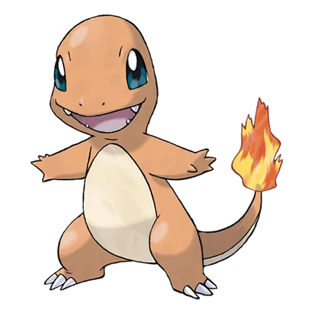
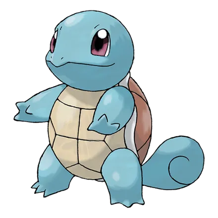
First partners