Johto
Kanto's neighbor, and older at heart: towers, shrines and traditions that stand the test of time.
Map of Johto
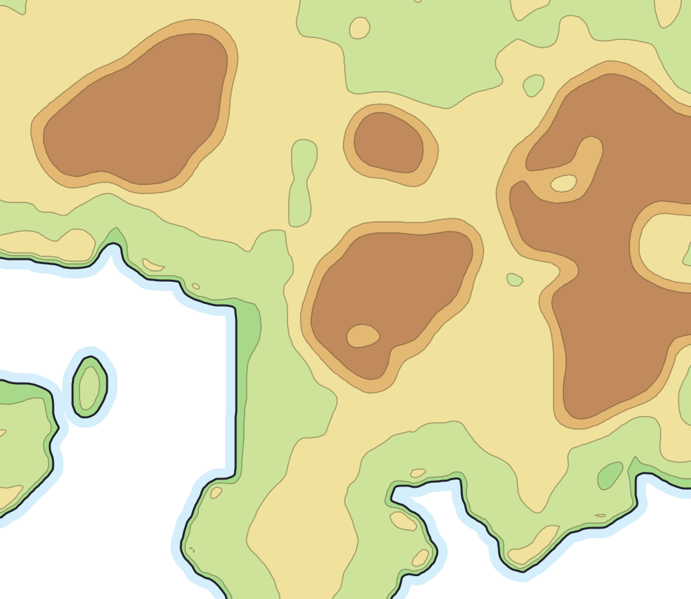
Places on the map
- Ecruteak City
- Mahogany Town
- Blackthorn City
- Olivine City
- Violet City
- Goldenrod City
- Cianwood City
- Cherrygrove City
- New Bark Town
- Azalea Town
- Lake of Rage
- Dragon's Den
- Mt. Mortar
- Ice Path
- National Park
- Ruins of Alph
- Whirl Islands
- Ilex Forest
- Union Cave
Routes
- 29From New Bark Town to Cherrygrove City
- 30–31From Cherrygrove City to Violet City
- 32–33From Violet City to Azalea Town
- 34From Azalea Town to Goldenrod City
- 35From Goldenrod City to National Park
- 36From National Park to Violet City
- 37From Route 36 to Ecruteak City
- 38–39From Ecruteak City to Olivine City
- 40–41From Olivine City to Cianwood City
- 42From Ecruteak City to Mahogany Town
- 43From Mahogany Town to Lake of Rage
- 44From Mahogany Town to Blackthorn City
- 45–46From Blackthorn City to Route 29
- 27From New Bark Town to Kanto
- 47–48From Cianwood City to the Safari Zone
Neighboring routes that form a single path appear together, as in “3–4”. Stretches with no number are bridges, tunnels and crossings that the games do not number.
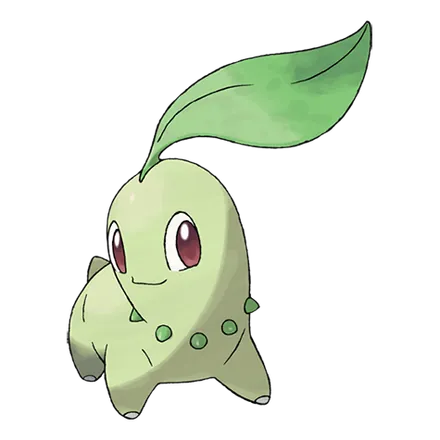
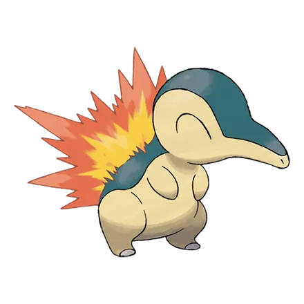
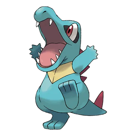
First partners