Galar
Long from south to north, from countryside to industrial cities, with packed stadiums on battle day.
Map of Galar
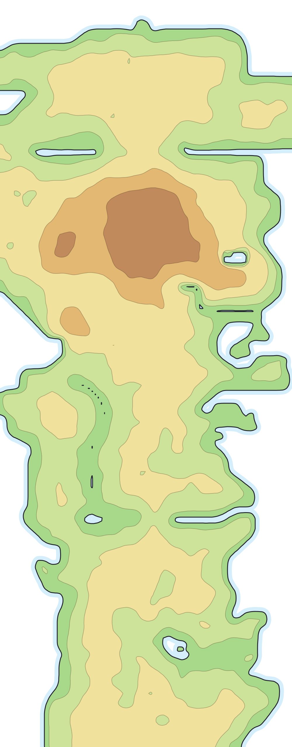
Places on the map
- Wyndon
- Ballonlea
- Circhester
- Stow-on-Side
- Hammerlocke
- Spikemuth
- Turffield
- Hulbury
- Motostoke
- Wedgehurst
- Postwick
- Slumbering Weald
Also on the map, with no number: Wild Area.
Routes
- 1From Postwick to Wedgehurst
- 2From Wedgehurst to the professor's house
- no numberWild Area, southern part. From Wedgehurst to Motostoke
- 3–4From Motostoke to Turffield
- 5From Turffield to Hulbury
- no numberGalar Mine No. 2. From Hulbury to Motostoke
- no numberWild Area, northern part. From Motostoke to Hammerlocke
- 6From Hammerlocke to Stow-on-Side
- no numberGlimwood Tangle. From Stow-on-Side to Ballonlea
- 7From Hammerlocke to Route 8
- 8From Route 7 to Circhester
- 9From Circhester to Spikemuth
- no numberRoute 9 Tunnel. From Spikemuth to Route 7
- 10From the station north of Hammerlocke to Wyndon
Neighboring routes that form a single path appear together, as in “3–4”. Stretches with no number are bridges, tunnels and crossings that the games do not number.
First partners